Make decisions based on real evidence from the construction site, not on reports
We transform physical construction sites into digital environments with 360° images, orthomosaics, point clouds, and engineering data centralized in a single platform, ensuring smarter and more reliable management.




More than a tool. The complete digital infrastructure for your construction project
Reality capture, software, and operational intelligence integrated into a single ecosystem.
Structured capture of reality
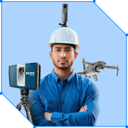
360° ground and aerial images, drone mapping, and point clouds with standard, recurrence, and technical precision for complex construction projects. Your job site becomes a continuous, trackable, and comparable digital database over time.
A single source of truth centralized in Visi
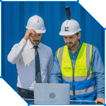
All visual and operational data converge into a single source of truth: the Visi platform. You access a digital timeline of the construction site with immersive images, reports, dashboards, verification sheets, and other integrations.
Custom engineering services
For operations that require more precision and control, we combine reality capture with engineering and management services. We deliver millimeter-accurate records, integrate data, validate physical progress, and structure processes to transform information into reliable decisions.
MORE TRANSPARENCY AND CONTROL
Reality capture technologies that transform management
Connect your data and decide with visual evidence
We transform construction reports into strategic vision. Create a digital base of reliable and traceable information for safer decisions.
Software
The software that centralizes reality capture
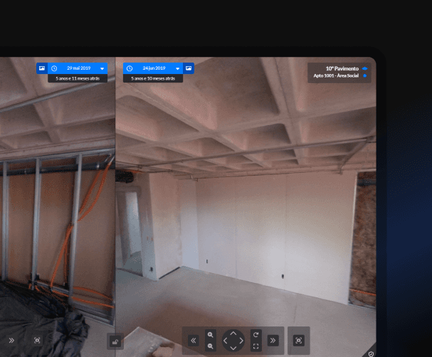
With Visi, you have a unique viewer of your construction site, featuring real images of the execution and centralized engineering data. Everything is available anytime, anywhere, optimizing management and accelerating decisions.
Specialized services
To extract the maximum value
from reality capture
3D Scanning
Team of specialists in
high-precision surveys
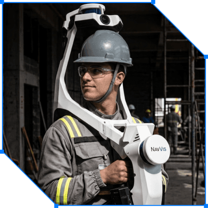
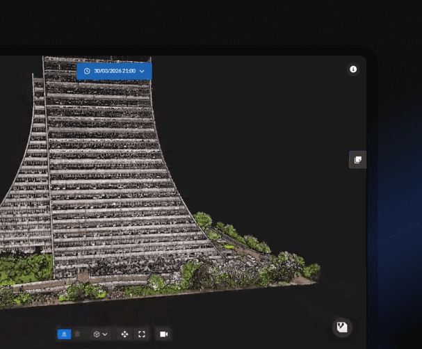
We capture the physical environment with millimeter precision using scanners and drones, creating a complete digital foundation. A point cloud is generated for remote measurements, as-built validation, and the creation of a reusable technical history throughout the entire project.
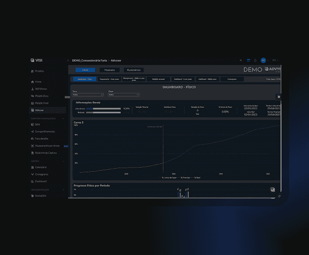
Integrated data,
your construction under control
Tools to make your day easier
Beyond visual data, the platform centralizes the main management and documentation tools.


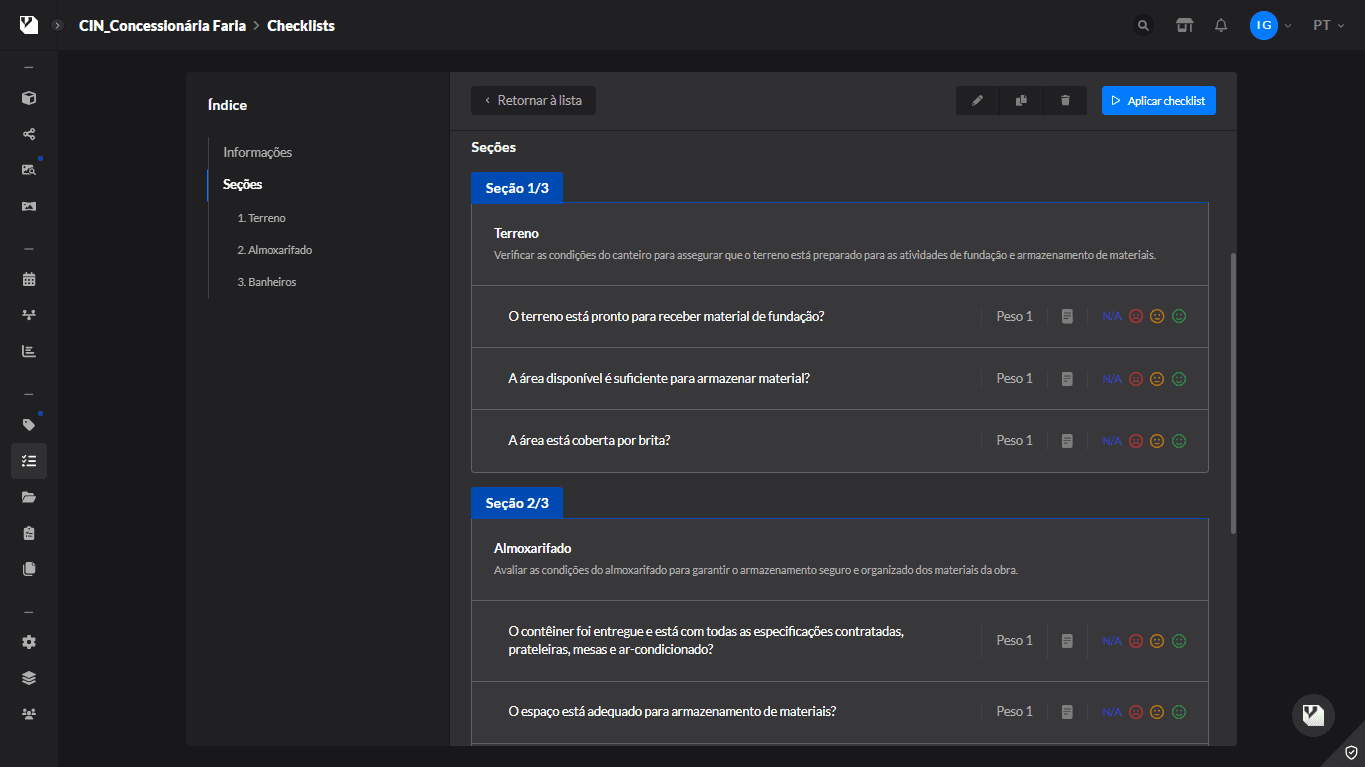

Who can use
Complete solutions for all
profiles in the construction sector
Owners
Visualize everything that is actually happening on the construction site — with visual documentation and organized data to make decisions with confidence.
we operate anywhere
The largest Reality Capture platform in Latin America
cases and testimonials


Who we are
We are Construct IN. We are pioneers in Reality Capture.
We make it possible to build from anywhere in the world. With centralized information and 360° images, accessing reality takes an instant.
