Exclusive service for Visi clients

Exclusive service for Visi clients

Outsourced, recurring, and integrated drone capture for your construction site

Outsourced, recurring, and integrated drone capture for your construction site

Our pilots guarantee a fixed flight schedule on your construction site, and you receive the ready-to-use data in Visi for measurements and project tracking through orthomosaics, 3D models, or 360° images.

Our pilots guarantee a fixed flight schedule on your construction site, and you receive the ready-to-use data in Visi for measurements and project tracking through orthomosaics, 3D models, or 360° images.

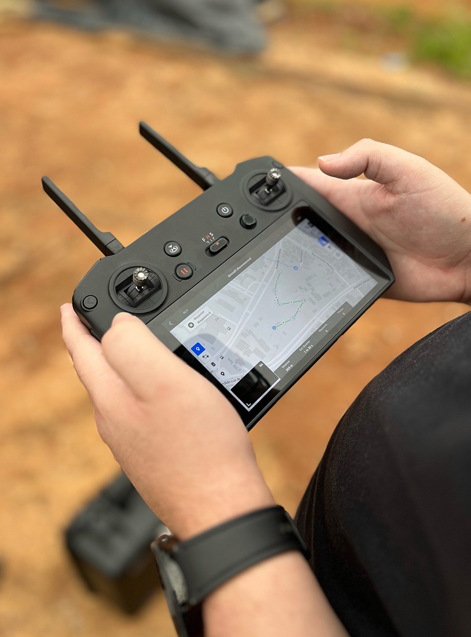
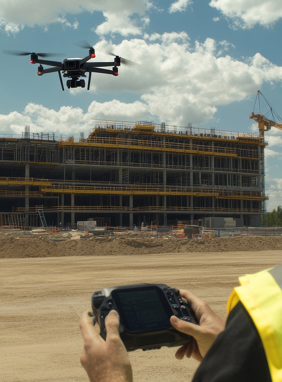
A Reality Capture drone flying in front of a large building structure under construction beneath a cloudy sky. In the foreground, an operator's hands hold a remote control with a screen, illustrating the process of aerial data collection on a construction site.

A drone without method and context becomes just a pretty picture, not engineering data

Buying a drone doesn't solve it

You still need a certified pilot, flight planning, photogrammetric processing, delivery standardization, and publication in the construction system.

Without recurrence, there is no history
Beautiful record is not given
A Reality Capture drone flying in front of a large building structure under construction beneath a cloudy sky. In the foreground, an operator's hands hold a remote control with a screen, illustrating the process of aerial data collection on a construction site.

A drone without method and context becomes just a pretty picture, not engineering data

Buying a drone doesn't solve it

You still need a certified pilot, flight planning, photogrammetric processing, delivery standardization, and publication in the construction system.

Without recurrence, there is no history
Beautiful record is not given

You use the software. We take care of the technical aerial capture.
Have a broad and continuous view of large areas

Have a broad and continuous view of large areas

The capture technique and the recurrence of the flights create a broad and consistent reading of the construction site over time. This standardization is indispensable in horizontal projects, industrial parks, land subdivisions, infrastructure works, and others where walking the entire site is not feasible for your team.

The capture technique and the recurrence of the flights create a broad and consistent reading of the construction site over time. This standardization is indispensable in horizontal projects, industrial parks, land subdivisions, infrastructure works, and others where walking the entire site is not feasible for your team.

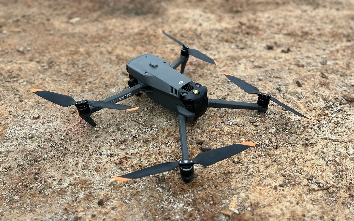
Close-up of a professional gray DJI drone with orange-tipped propellers, resting on the dirt ground of a construction site. The image highlights the equipment used for aerial Reality Capture.
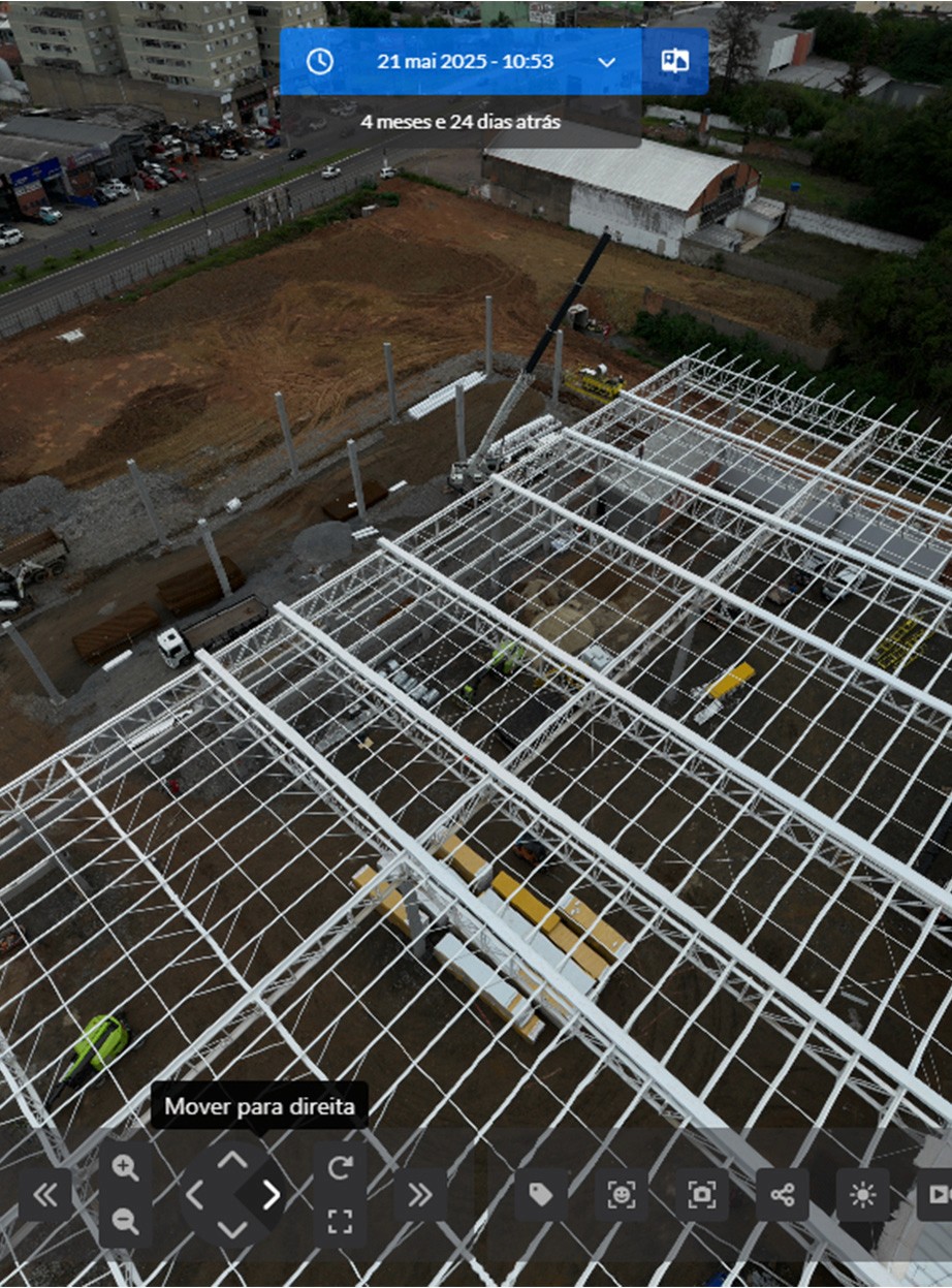
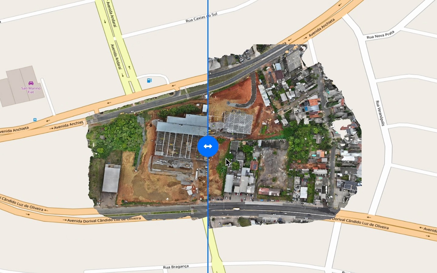
Platform screen displaying an orthomosaic map of a construction site overlaid on a street map. A comparison tool allows users to visualize the evolution of the terrain and structures, facilitating measurements and precise control of physical progress.

Gain confidence in volumetric measurements and control

Gain confidence in volumetric measurements and control

With georeferenced orthomosaics and 3D models ready to use, you can measure physical progress, earthwork volumes, and cuts with a reliable technical basis. More security for financial releases, contract validation, and productivity monitoring.

With georeferenced orthomosaics and 3D models ready to use, you can measure physical progress, earthwork volumes, and cuts with a reliable technical basis. More security for financial releases, contract validation, and productivity monitoring.

Structure remote management with transparency

Structure remote management with transparency

Aerial capture increases project visibility and strengthens remote monitoring, whether as a primary solution or as a complement to 360° ground-level captures. Ensure comprehensive documentation and quality to manage large projects.

Aerial capture increases project visibility and strengthens remote monitoring, whether as a primary solution or as a complement to 360° ground-level captures. Ensure comprehensive documentation and quality to manage large projects.

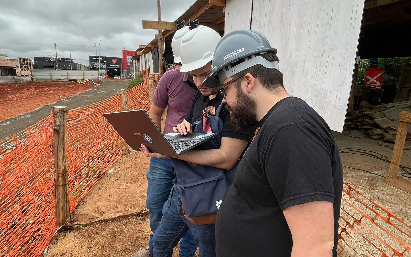
Three Construct IN employees wearing safety helmets (one gray with the company logo and two white) at a construction site. They are gathered around a notebook, analyzing Reality Capture data directly in the field, promoting transparent management.

we operate anywhere

The largest Reality Capture platform in Latin America

+8000
Monitored projects
+5 million
360° images captured
60m
in projects monitored by our capture agents
+10
countries served
LOCATION

+30% reduction in visits

How the company gained more productivity in its operation.
TIMENOW

-90% time spent on reports

Learn how the company increased productivity.

we operate anywhere

The largest Reality Capture platform in Latin America

+8000
Monitored projects
+5 million
360° images captured
60m
in projects monitored by our capture agents
+10
countries served