3D scanning with a defined technical standard
Capture with precision and speed. Forget about tape measures.
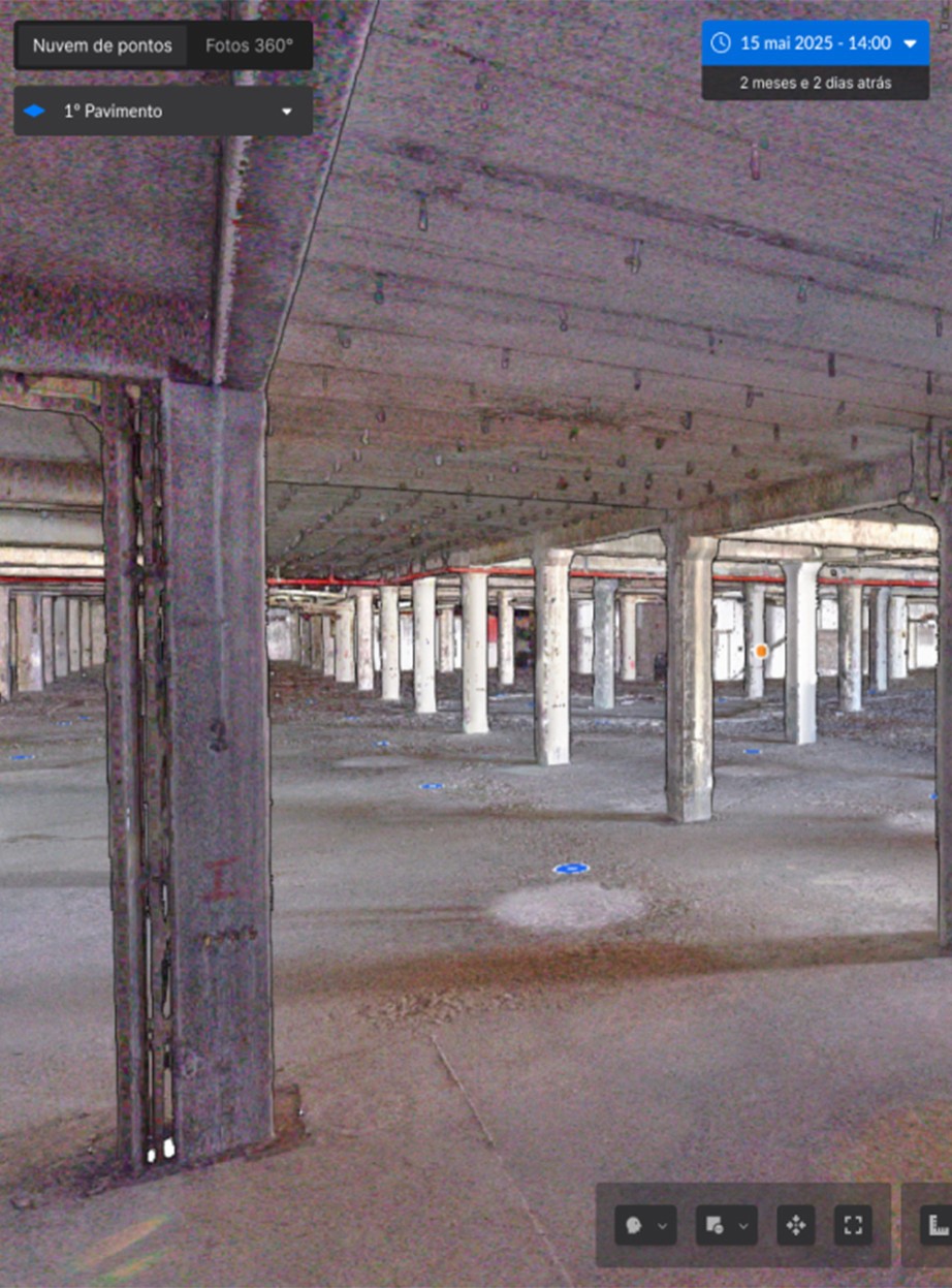
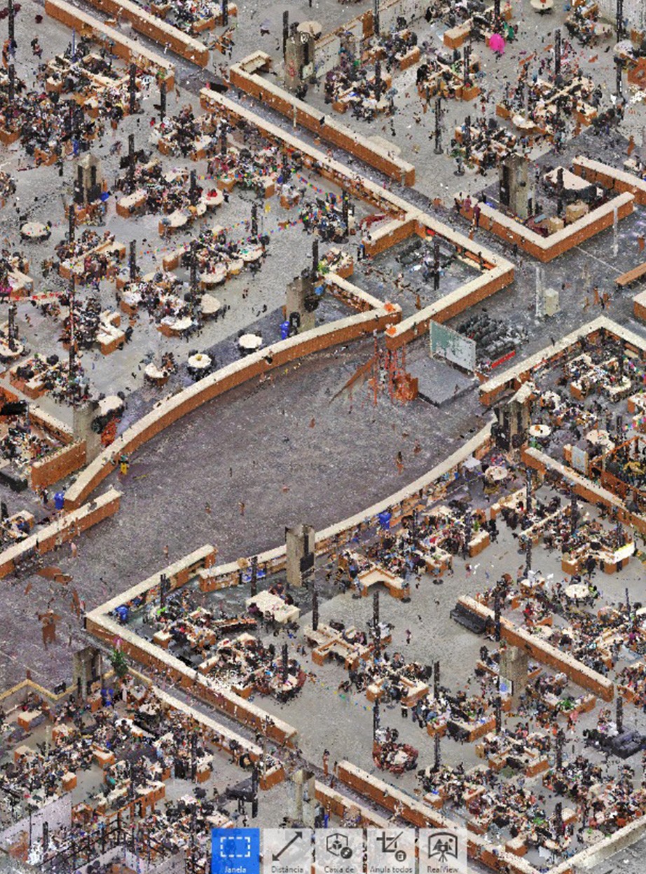
high-precision capture specialists
Operated by Raise
We define what needs to be registered
Every project begins with defining the scan's objective. This defines point density, required accuracy, and coverage area. There is no such thing as a "generic scan".
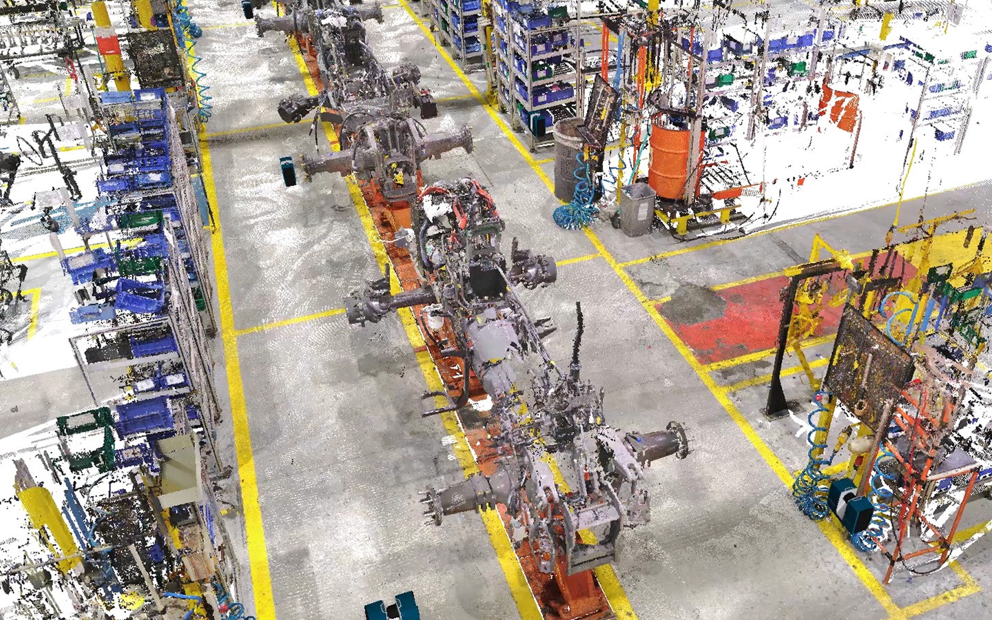
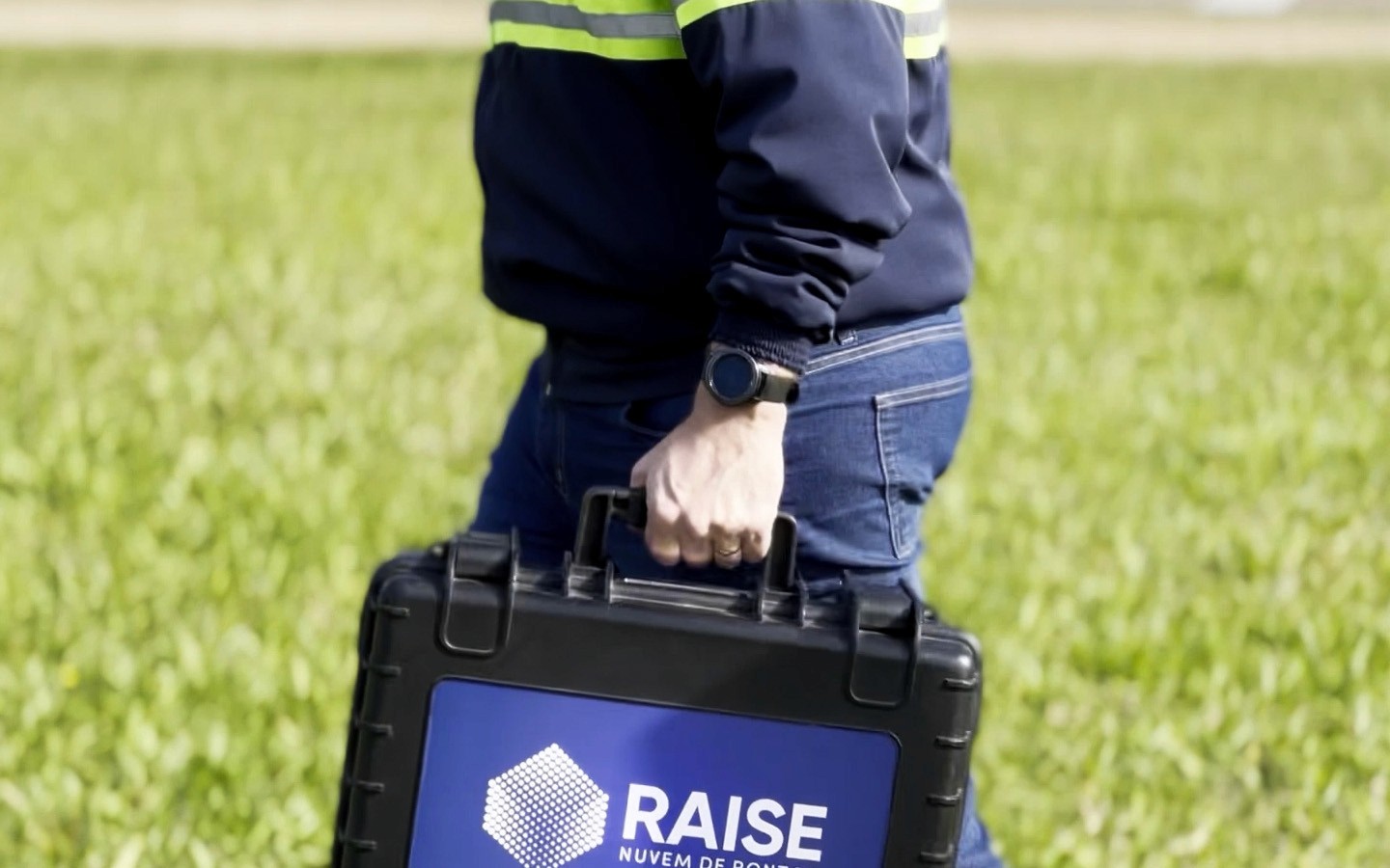
Field capture with Raise standard
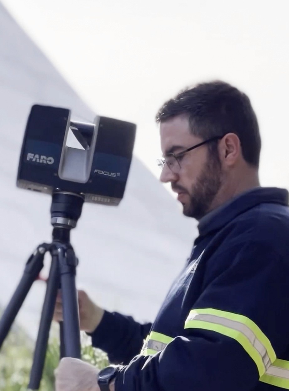
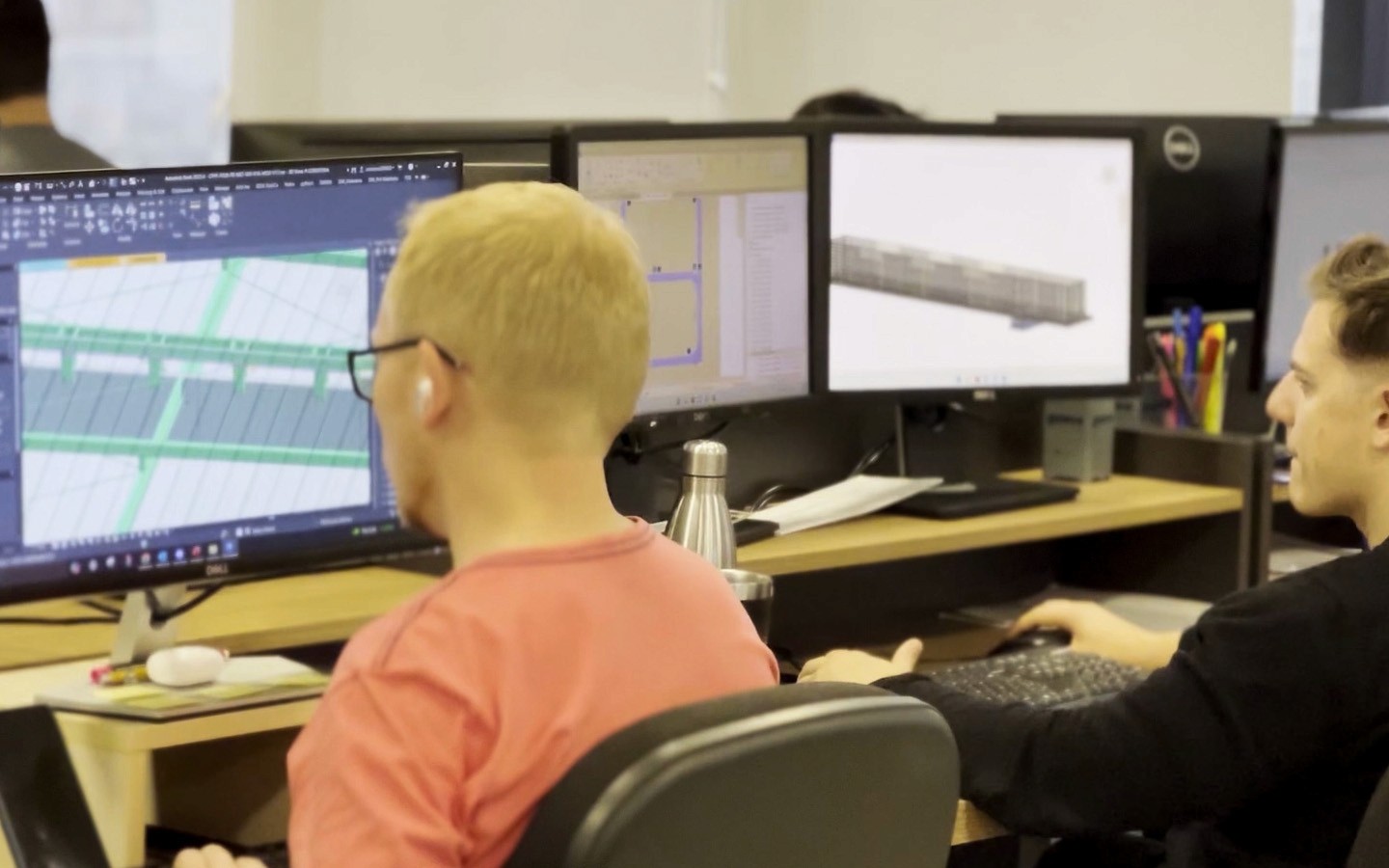
Trained operators, calibrated equipment, and a standardized scanning protocol. The focus is not just on capturing, but on ensuring geometric accuracy and complete coverage of the asset.
Technical processing and quality control
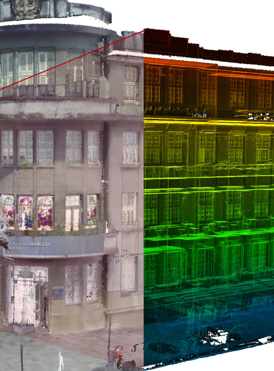
The point cloud undergoes cleaning, alignment, and internal validation before delivery. We only publish and make available data that meets the precision criteria defined in the scope.
Delivery in VISI and external formats
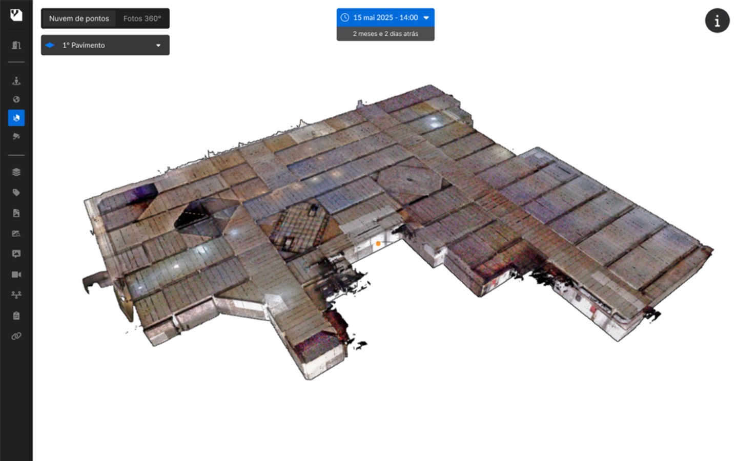
The cloud is available for viewing in VISI and can also be exported in the necessary technical formats. You use it in your daily routine and preserve it as a long-term digital asset.
When the point cloud is no longer optional
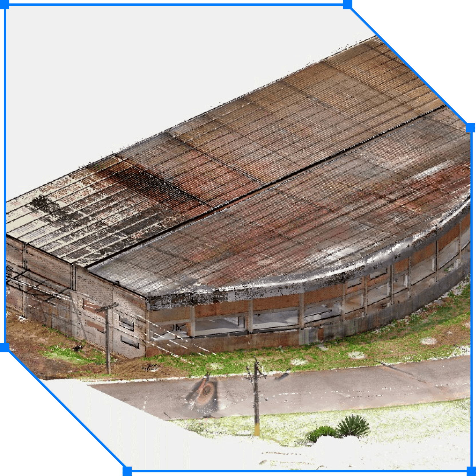
we operate anywhere
The largest Reality Capture platform in Latin America
LOCATION
+30% reduction in visits
How the company gained more productivity in its operation.